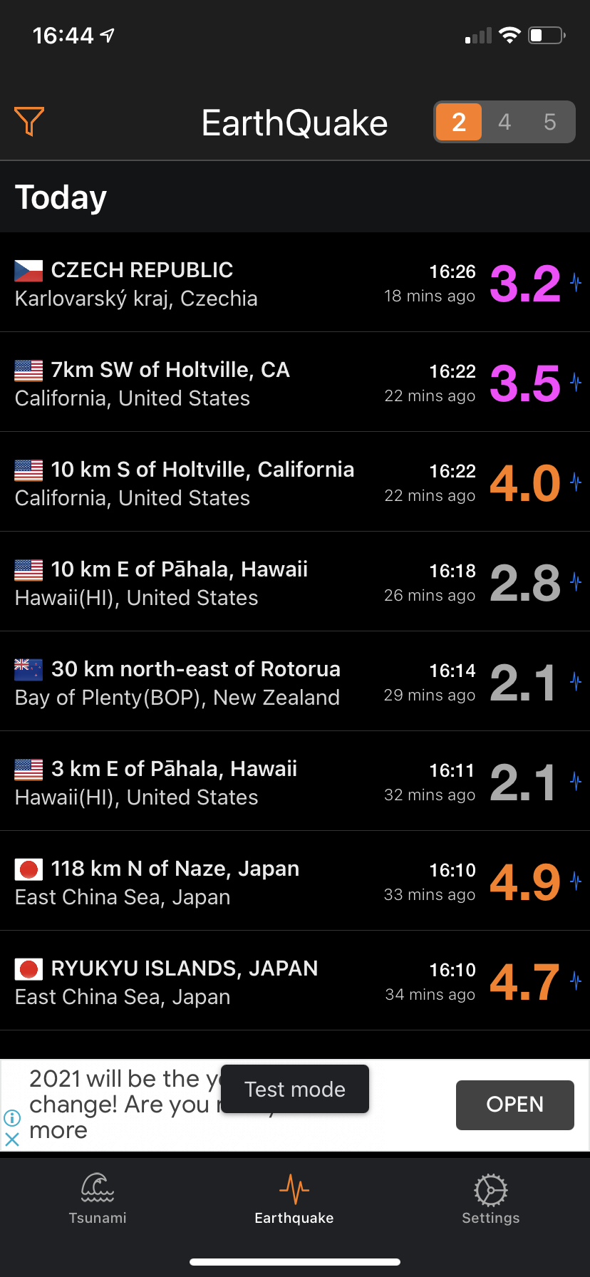
Latest worldwide earthquake data from multiple sources with free customizable push notifications.
- Data from multiple reporting agencies from all over the world.
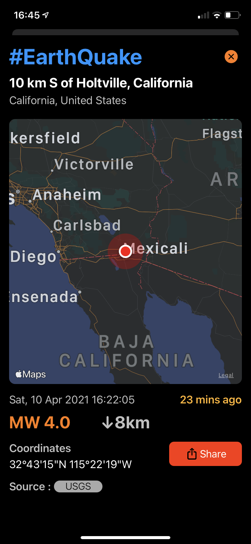
- Intuitive user interface with timeline, map and detail views.
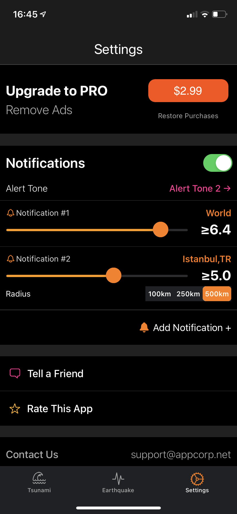
- Custom notifications alerts with filter by area, country, city, continent with magnitude.
- Social sharing and raw data export to 3rd party apps.
- Available for iPhone, iPad and Apple Watch.
- Tsunami data and information.
- Featured by Apple on the US App Store weather category
| Latest Earthquakes | Lat | Lon | Depth | Date | Mag | |
|---|---|---|---|---|---|---|
 |
MORO GULF, MINDANAO, PHILIPPINES Celebes Sea, Philippines |
6.51 | 123.61 | 4 km. | 12 mins | 3.3 |
 |
OFFSHORE O'HIGGINS, CHILE South Pacific Ocean, Chile |
-33.97 | -72.07 | 30 km. | 17 mins | 3 |
 |
ATACAMA, CHILE Atacama(AT), Chile |
-27.59 | -69.52 | 116.7 km. | 23 mins | 3.2 |
 |
MORO GULF, MINDANAO, PHILIPPINES Celebes Sea, Philippines |
6.57 | 123.75 | 6 km. | 29 mins | 3.2 |
 |
SOUTHERN GREECE Ionian Sea, Greece |
36.6159 | 21.8134 | 21 km. | 30 mins | 2.5 |


